
Throughout my marketing communications and graphic design career I have developed and directed the creation of numerous maps and map types. This page highlights several recent maps I've created.
. . . . . . . . . . . . . . . . . . . . . . . . . . . . . . . . . . . . . . . . . . . . . . . . . .


Above: These maps of the Caribbean and Western Pacific regions fill the front and back end pages of a children’s natural history book on oceans and coral reefs.

Above: Brochure Town map illustrating the main corridor for local merchant locations and primary access routes to the Town.

This
map was created to illustrate the expanding area of influence the Asian
live reef fish food trade is having across the Indian and Pacific
oceans.

Above: Local map indicating the location of a town dental practice.
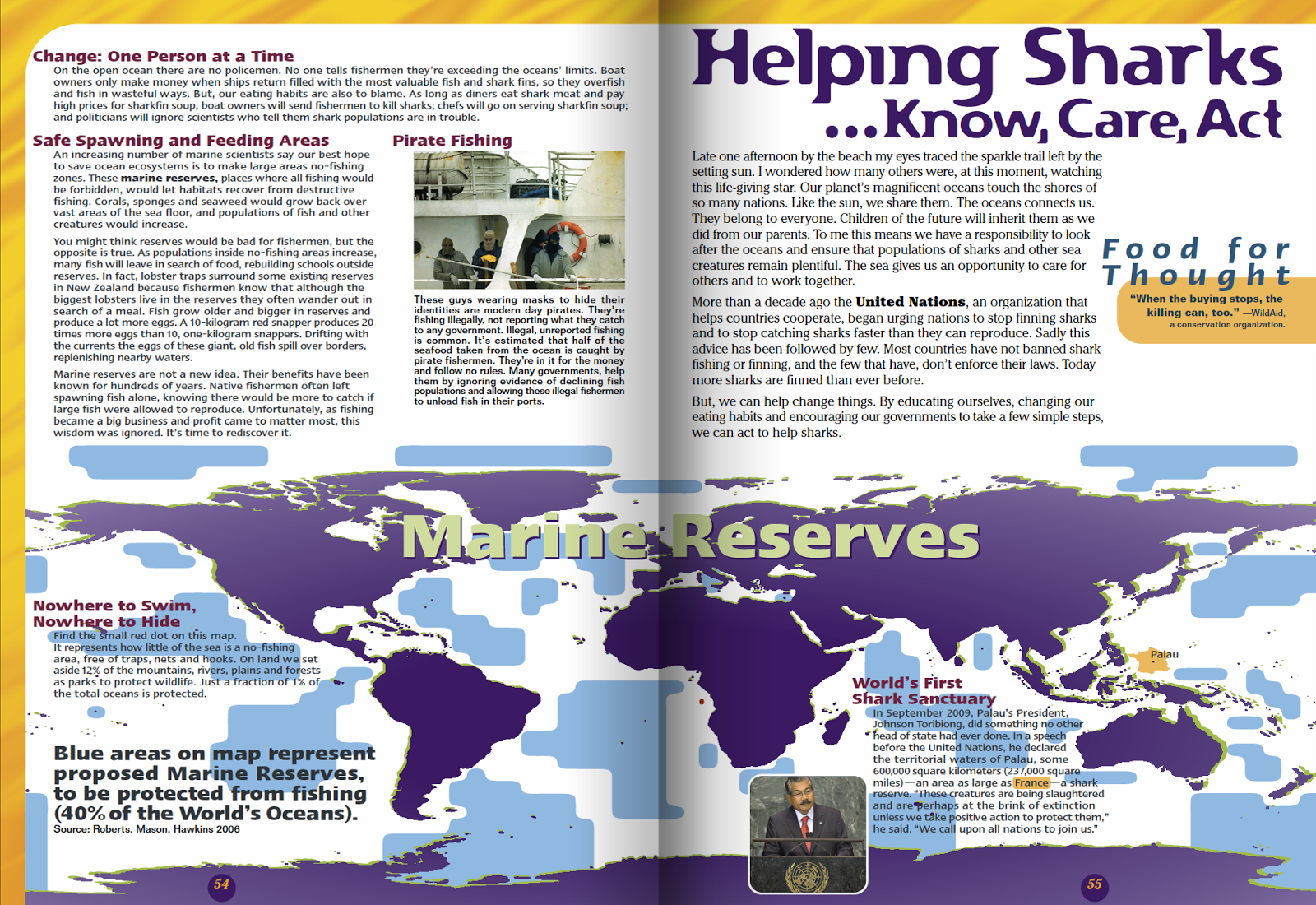
Above: World map depicting proposed marine reserve areas spanning across
a 19-inch two-page spread for a young teen conservation book.
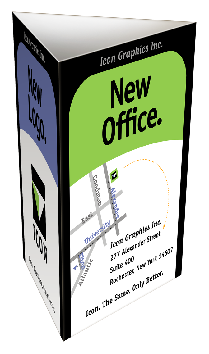
Above: This simple map graphic was incorporated onto one panel of a
three dimensional moving announcement to
illustrate the business had moved just around the corner.
. . . . . . . . . . . . . . . . . . . . . . . . . . . . . . . . . . . . . . . . . . . . . . . . . . .
No comments:
Post a Comment